


What is hyperlocal air pollution? (quick definition)
Hyperlocal air pollution is the sharp variation in air quality—especially particulate matter (PM2.5 and PM10)—within short distances (typically 20–100 meters), where pollution forms repeatable hotspots significantly higher than nearby areas at the same time.
Why air quality varies within cities
At street level, air pollution is shaped by three interacting forces:
✅ traffic behaviour (how emissions are generated)
✅ urban design (how air moves)
✅ infrastructure constraints (where dispersion is limited)
Together, these create predictable exposure zones, not evenly distributed pollution.
A real pattern cities are now seeing (micro-case)
Street-level mapping by Aclima with Google in Oakland revealed a repeatable pattern:
✅ highest PM concentrations consistently aligned with signal-dense arterial corridors
✅ peaks occurred during morning (8–10 AM) and evening (5–8 PM) stop-start traffic cycles
✅ adjacent residential streets (within 50–100 meters) remained significantly lower
What stood out was not just variation—but its consistency tied to traffic behaviour and infrastructure.
Implication:
Urban air pollution is not area-based—it is corridor-driven, time-dependent, and infrastructure-linked.
Urban air pollution hotspots explained
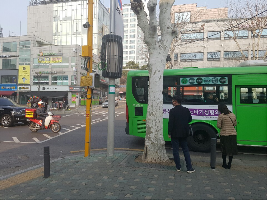
1. Traffic intersections and corridors (traffic pollution exposure)
At intersections:
- vehicles repeatedly idle and accelerate
- brake and tire wear generate additional particulate matter
In London, roadside monitoring shows that PM levels near major roads can exceed background levels within 20–50 meters, especially during peak congestion.
These locations function as persistent high-exposure nodes within the urban system.
2. Street canyons and airflow constraints (street-level air quality)
- Urban geometry directly affects dispersion.
- Narrow streets with tall buildings restrict airflow, allowing pollutants to remain suspended longer.
- According to the European Environment Agency, this can increase concentrations by 2–3× compared to open streets, even with similar traffic.
Implication:
Air pollution is partly an urban design problem, not just an emissions problem.
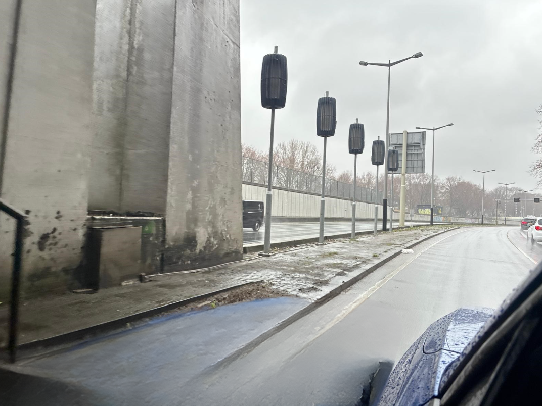
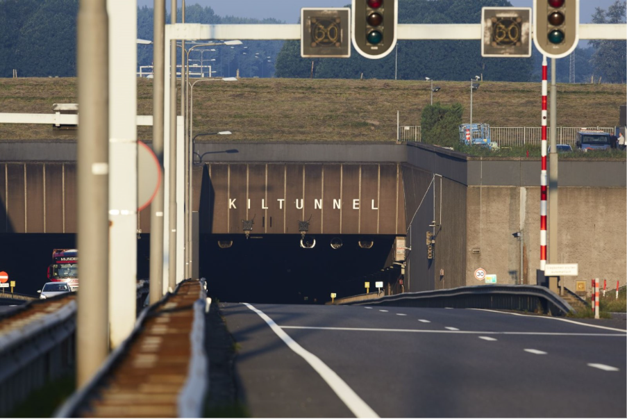
3. Tunnels and enclosed infrastructure (tunnel air quality)
Tunnels intensify accumulation:
- continuous emissions
- restricted airflow
confined space
Transport studies consistently report elevated particulate levels in tunnels, particularly during peak hours.
These environments act as fixed exposure zones embedded within transport systems, often influencing air quality beyond tunnel exits.
The Dual-Layer Exposure Model of Urban Air Pollution
To understand these patterns, a clearer framework emerges:
Urban air pollution operates as a Dual-Layer Exposure Model: background air quality and exposure hotspots.
Layer 1: Background air quality
- influenced by total emissions
- improved through regulation and cleaner systems
Layer 2: Exposure hotspots
- shaped by traffic flow, infrastructure, and airflow
- concentrated, repeatable, and location-specific
Urban air pollution is no longer a city-wide condition—it is a network of engineered exposure zones driven by traffic behavior and urban geometry.
This explains why:
- city-wide AQI improves
- yet specific streets remain consistently worse
Why exposure matters more than averages
Air quality strategies have historically focused on emissions.
However, exposure does not reduce evenly.
The Health Effects Institute highlights that health impact depends more on where exposure occurs than on average air quality.
A commuter passing daily through:
- signal-heavy corridors
- dense urban streets
- enclosed infrastructure
can experience disproportionately higher particulate exposure—even within the same city.
This is where the Dual-Layer Exposure Model becomes operational, not just conceptual.
How to reduce particulate matter in cities (decision framework)
An effective strategy aligns with both layers:
1. Reduce baseline emissions
Use when:
- city-wide pollution is high
2. Identify hyperlocal hotspots
Use when:
pollution varies within short distances
3. Prioritize exposure zones
Focus on:
- arterial corridors
- signal-dense intersections
- tunnels
4. Apply targeted interventions
Use when:
hotspots are persistent and repeatable
From insight to implementation: where targeted solutions fit
Once cities begin working at the level of exposure hotspots (Layer 2 of the model), localized intervention becomes essential—particularly in environments where dispersion cannot keep up with emissions.
This shift is already visible in real-world deployments across different urban contexts.
In dense urban environments such as Omonia Square in Athens, one of the city’s busiest traffic zones, pollution exposure is driven by continuous vehicle flow and pedestrian proximity. Instead of relying only on broad emission reductions, a localized approach has been applied to address particulate matter directly at street level.
In such environments, systems like StaticAir’s PAMARES are used as part of urban infrastructure—integrated into existing assets and operating continuously to capture particulate matter within high-exposure zones. Reported field deployments in similar contexts have shown measurable reductions in particulate concentration, particularly in traffic-dense urban areas.
In enclosed infrastructure, the challenge shifts from dispersion to accumulation
This is evident in tunnel systems such as the “Victory Boogie Woogie” tunnel in The Hague, wherecontinuous traffic and limited airflow create sustained high particulate levels. Ventilation alone often redistributes pollution rather than removing it.
To address this, systems like StaticAir’s FDRS (Fine Dust Reduction System) are deployed within tunnel environments to capture particulate matter before it disperses into surrounding areas. Large-scale installations in such infrastructure have demonstrated substantial reductions in particulate concentration within controlled environments, improving both in-tunnel air quality and downstream urban exposure.
Across both cases, the principle remains consistent:
treat pollution where it concentrates
not only where it originates
This aligns directly with the Dual-Layer Exposure Model—reducing background emissions while actively managing exposure hotspots.
The future of smart city air quality
Cities now have:
✅ high-resolution monitoring
✅ real-time data
✅ predictive insights
The next phase is acting with precision.
Not everywhere.
But where exposure is highest.
Conclusion
Air quality in cities is no longer defined only by overall pollution levels.
It is shaped by how particulate matter behaves across specific environments—intersections, corridors, and enclosed infrastructure.
Cities have reduced emissions. The remaining challenge is managing where exposure concentrates.
The Dual-Layer Exposure Model makes this clear:
✅ background air quality continues to improve
✅ exposure hotspots require targeted intervention
And this leads to a fundamental shift:
from averages → to exposure
from uniform policy → to precision action
Because in modern cities, pollution is not evenly distributed.
It is engineered.